
MIT Senseable City Lab uses 3D laser scans to map Rio de Janerio’s favelas
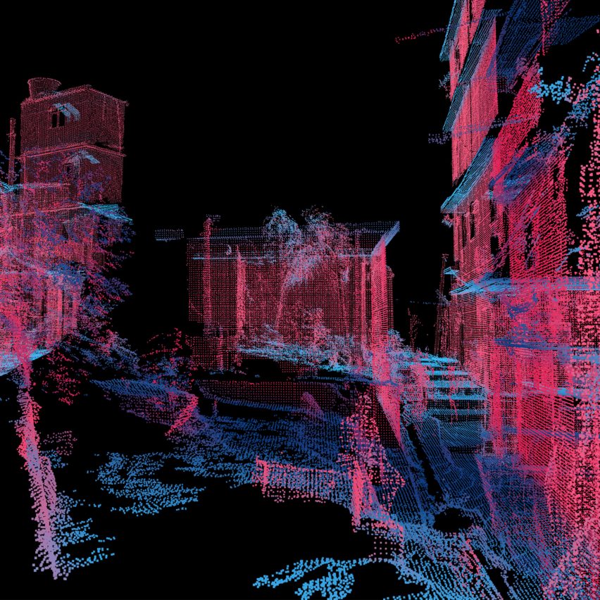
This one-minute video shows how MIT Senseable City Lab is using 3D laser scanning to analyse the architecture of Brazil’s favelas. Called Favelas 4D, the project uses LiDAR (Light Detection and Ranging), a 3D laser-scanning technique, to record detailed virtual maps of the neighbourhood of Rocinha, Brazil’s largest favela. The project is a collaboration between
The post MIT Senseable City Lab uses 3D laser scans to map Rio de Janerio’s favelas appeared first on Dezeen.